

Geographical Center of the United States of America is in Lebanon, Kansas
The other day, I posted that Marinduque touted as the Heart of the Philippines was just officially confirmed the geographical center of the Philippines. A monument was built on the exact spot( see my previous posting on the subject) through the coordination of local and national officials. This location will be develop as a tourist attraction in Marinduque, along with the newly discovered underground rivers and caves in the island. This news inspired me to do a search where in the heck is the geographical center of the US. So you know where it is? If so you do not have to continue reading this post. If not, please readon...
The Geographical Center of the United States (contiguous 48) is located about two miles northwest of Lebanon, Kansas. Take US Highway 281 north 1 mile, and turn west one mile on K-191 to the maker that has been erected at the end of the paved road. The actual center is about a half mile away in the center of a former hog farm.
There really isn't very much to see or do at the Geographical Center of the United States, but if you are passing through the area on US highways 36 or 281, it is worth driving the short distance from Lebanon.
 Plaque
The Geographical Center of the United States:altitude 39 degrees 50 minutes Longitude 98 degrees 35 minute NE 1/4 - SE 1/4 0 S32
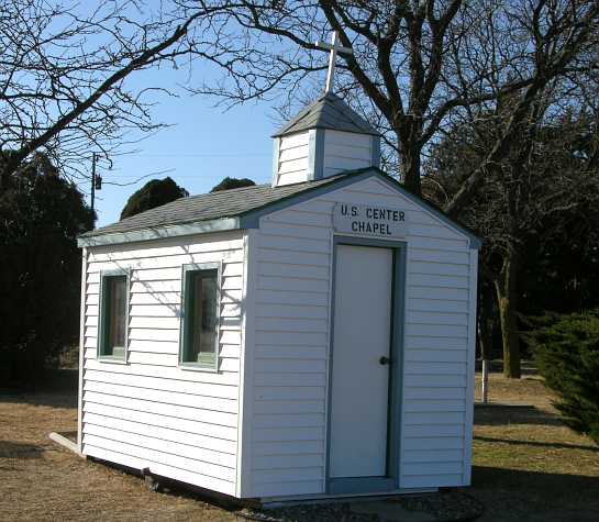 Chapel
This U.S. Geographical Center Chapel was destroyed by a speeding vehicle missing the turn at the T intersection at the end of K-191 Highway on June 1, 2008. It has since been replaced by a new tiny chapel.

Approaching the Geographical Center of the United States on March 23, 2008.
Note: My next posting will be on the geographical center of North America, Europe, Australia and Mexico. Watch for It. Cheers!
No comments:
Post a Comment